Beigang City(北港市) streets were developed early, so the urban park sand green spaces are fragmentary. The goal of the Heart of Beigang Town(北港鎮) is to link the fragmentary urban landform of Beigang City(北港市), connect Beigang(北港) Sports Park, the Beigang(北港) River embankment, and the high beach with full greenery, and combine the surrounding landscape bridges, historical buildings, and cultural landscape to create a living area that ordinary people like.
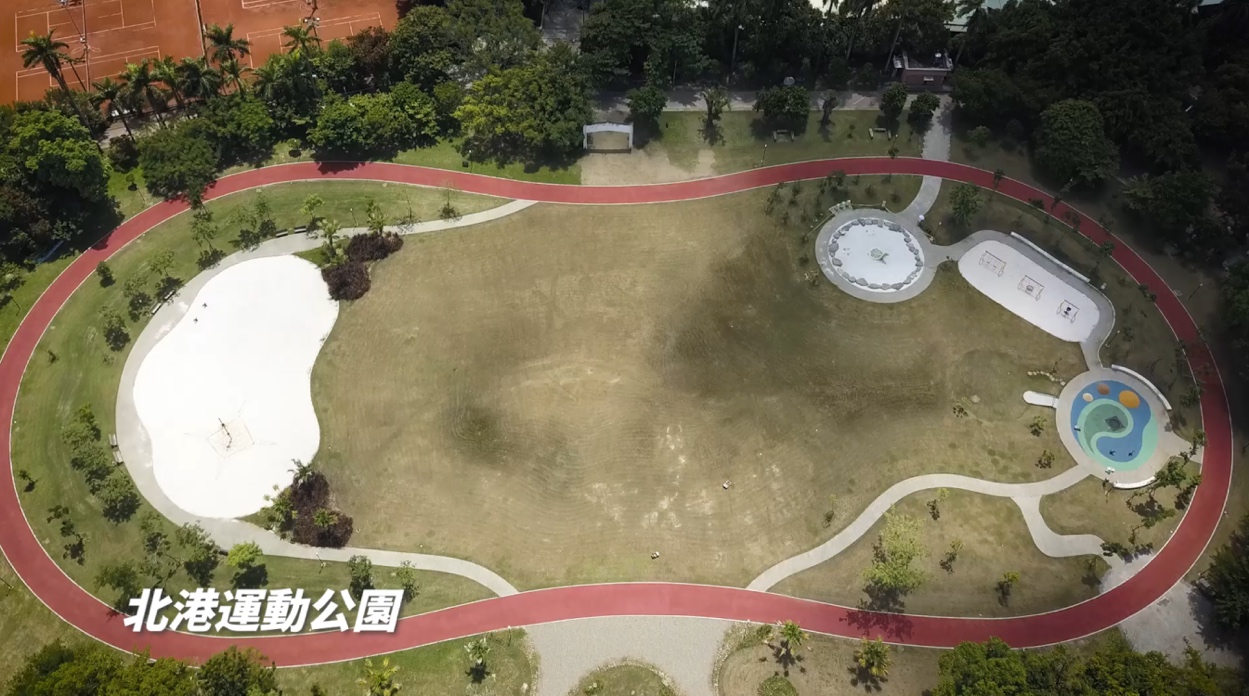
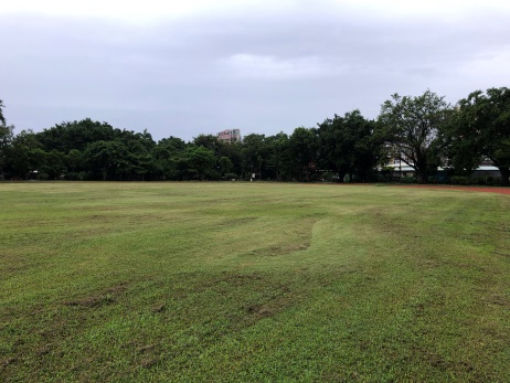
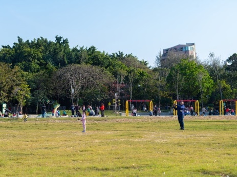
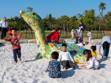
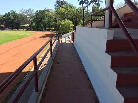
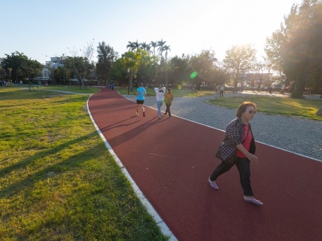
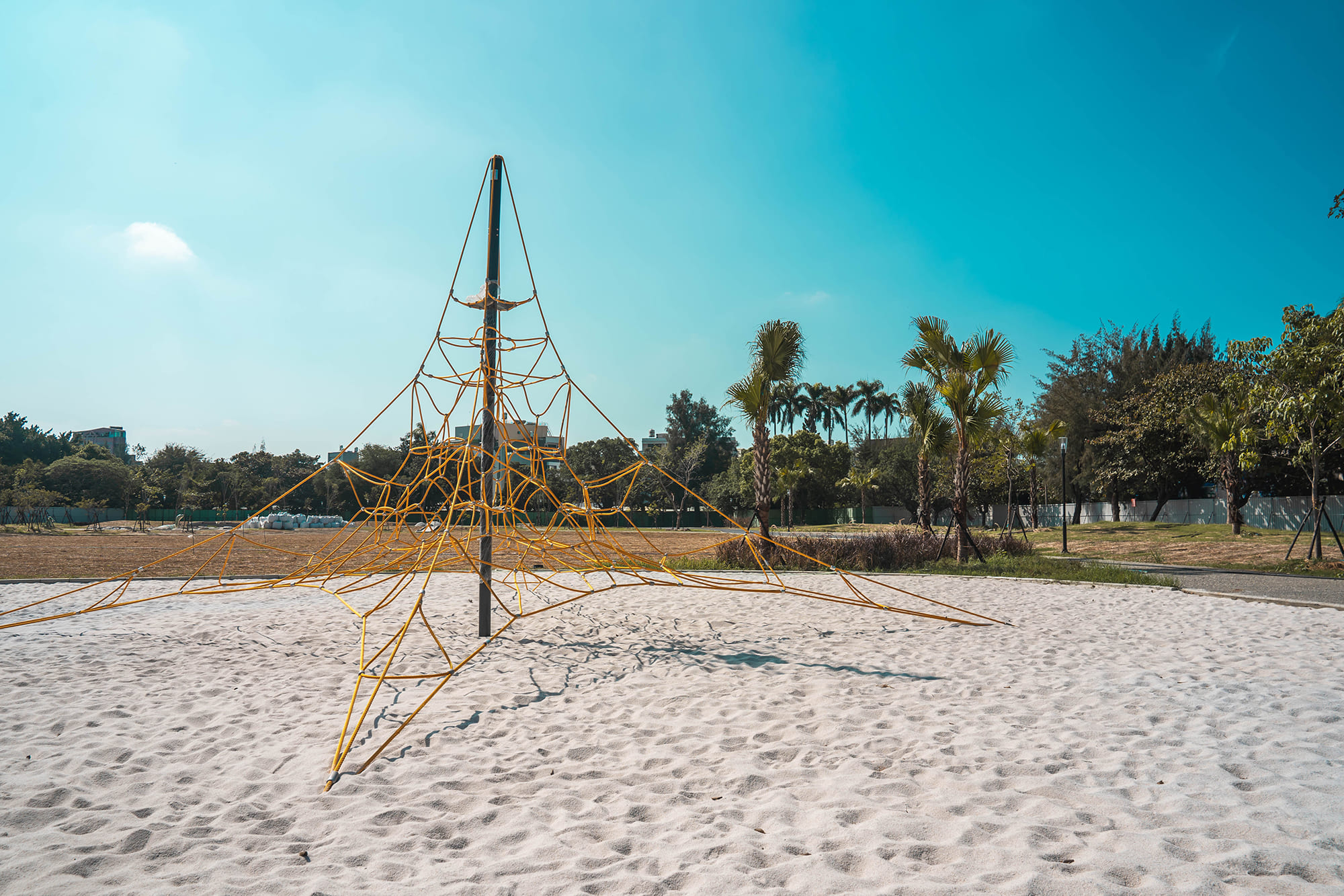
Beigang(北港) Sports Park was established during the Japanese governed period and later developed into a competition venue, including the clay track-and-field ground and outdoor sports facilities. However, the congenital conditions of the track-and-field ground are insufficient, and the utilization rate of the competitive facilities is not high. Furthermore, the sports park is the primary open green space in the Beigang(北港) Cultural and Educational District. People come here for leisure activities in normal days, but the track-and-field ground is open and unshaded and offers only a single activity. People have been observed mostly walking on the trail with shade outside the track-and-field ground. That is to say, the track-and-field ground, which occupies a large area, has a low utilization rate and does not meet the needs of residents for sports and leisure in their daily lives. Therefore, the plan is to transform the track-and-field ground with children's recreation as the theme, combined with jogging and walking activities, into a leisure park suitable for all ages.
The main goal of this phase is to renew and activate the old urban spaces to enhance the diversified use of Beigang(北港) Sports Park and improve the park’s drainage. The greening of the Beigang(北港) Riverembankment and the linking of the waterfront recreation belt will create a good leisure sports field for residents.
- Beigang(北港) Sport Park: The city's green park system provides green living space, promotes citizens’ healthy living, establishes social participation, protects precious ecological resources, integrates the disaster reduction and preparedness system, and responds to climate change issues. With the aging society and sub-replacement fertility coming fast and becoming a popular trend, it is hoped that an all-age environment can gradually encourage a kind of lifestyle, making a general design plan of space suitable for older people’s use and children playing the new trend to create a modern living environment; the strategy can be divided into the following parts: a. flood mitigation and detention planning in the park; b. optimizing the existing drainage system; c. removing idle facilities; d. playground landscape reconstruction and space activation; e. all-age inclusive leisure and open space; f. optimizing the jogging and walking activity space; g. restoration of Hongxi(鴻喜) Pavilion.
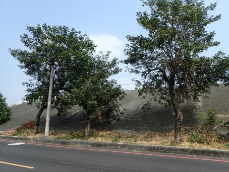
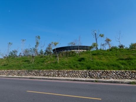
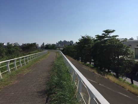
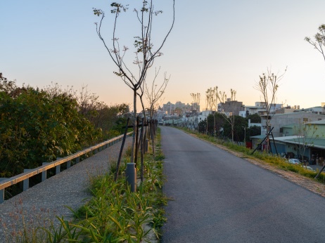
- Beigang(北港) Riverside Park: The trail from the sports park to the Beigang(北港) River embankment is connected in stages from green land to hydrological landscape to link the moving line in local daily living activities, establish the east-west axis of life, and effectively combine the public spaces by adjusting the preliminary moving line to gradually improve the environment on the east side of the park. In the future, cooperating with the swimming pool reconstruction will achieve a vision of life in the east-west axis. Promotion strategies are as follows: a. Continuity of walking routes in daily life in Beigang(北港): the intersection of Taiping Road and Wenhua Road(文化路) is the main moving route node extending from the sports park to the riverside, so the existing winding road needs to be improved, a pedestrian path and pedestrian crossing signs added; furthermore, safe crossing facilities need to be provided for pedestrians, and the walking routes between the park and the Beigang(北港) River need to be connected. b. Gentle slope green embankment and waterfront green shadow: In order to create an environmental atmosphere for life scenes, the plan will widen the footpath at the top of the embankment for a walking space on the embankment that is similar in scale to the footpath of the sports park for walking along the stone wall staircase from the park. c. Slope after embankment: To extend the green embankment slope from south to north, the slope after the embankment was formerly a smooth concrete surface, and to continue the green embankment slope to the south of Never Bridge, the existing concrete layer is demolished; according to the local demand to remove the original alstonia scholar is intensively growing on the slope toe, it is covered with soil after strengthening slope protection and the slope toe, thus making the slope suitable for plant growth and becoming the foundation of the embankment protective green belt. d. Slope before embankment: For a comfortable shady walk way ideal for going for a walk, the slope before the embankment shall consider flood prevention functions, keep the concrete layer of the slope toe, remove the concrete layer of about 2.5 meters wide on the top of the embankment, and add the new pedestrian space of 1.2 meters wide before the embankment; the trail and top of the embankment shall keep the green belt of 1.2 meters and be covered with soil to provide a plant growth environment as the basic green belt of the shady walkway.