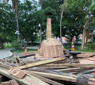
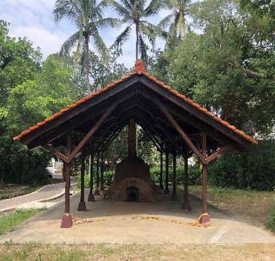
This plan reviews two centralized urban planning areas in Nantou City (Nantou(南投) Nangang(南崗)and Zhongxing(中興) New Village), with the "heart energy of water and green" (that is, the natural scenery and cultural activities) to connect the blocks and the relationship between humans and nature, link the two urban planning areas through the tourist and recreation green corridor of Zuci Road(祖祠路) and the blue belt of Maoluo(貓羅) River, and conduct comprehensive environmental resource review. In view of the green resources, this detailed planning and design are proposed to give the local residents a green space with ecological, leisure, recreation, and other functions. The implementation location is between Nantou(南投)(including Nangang(南崗)) and Zhongxing(中興) New Village, which is the main traffic line of Nantou City(南投市) to other areas. In recent years, Nantou City(南投市) has held many large-scale activities (such as the Tea Industry Expo, Lantern Festival, Agricultural Expo, etc.) to develop tourism demand and make Nantou tourism increasingly active.
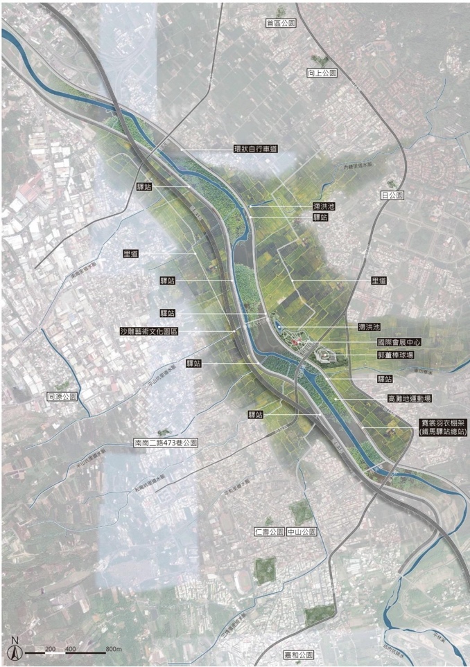
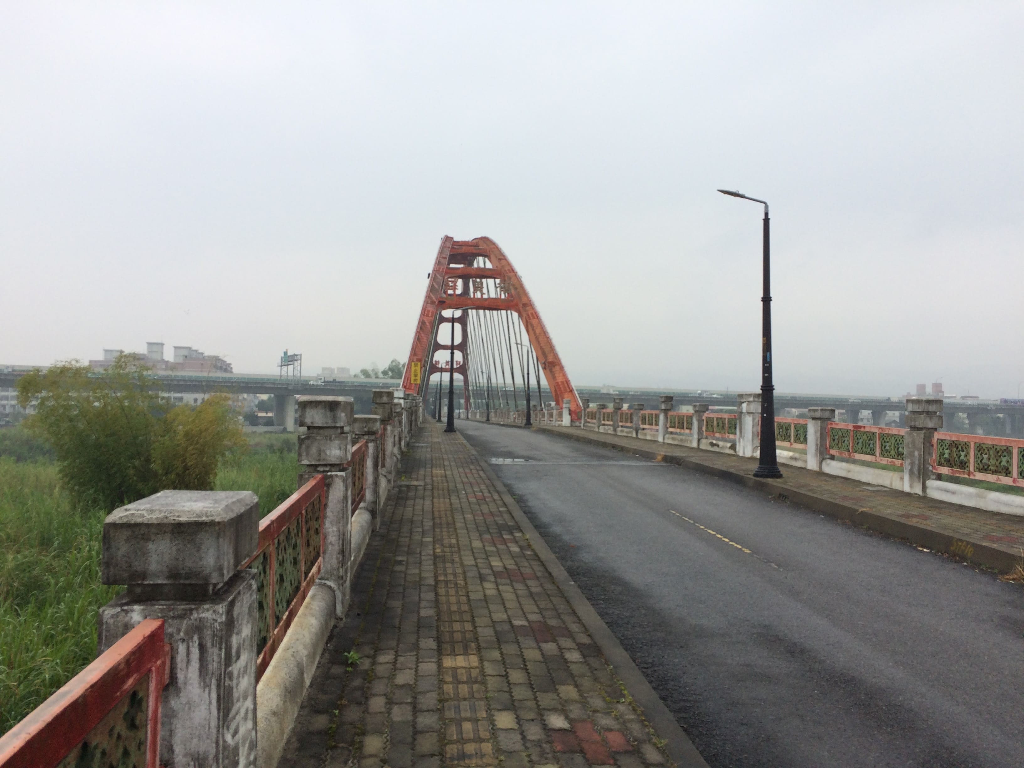
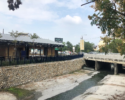
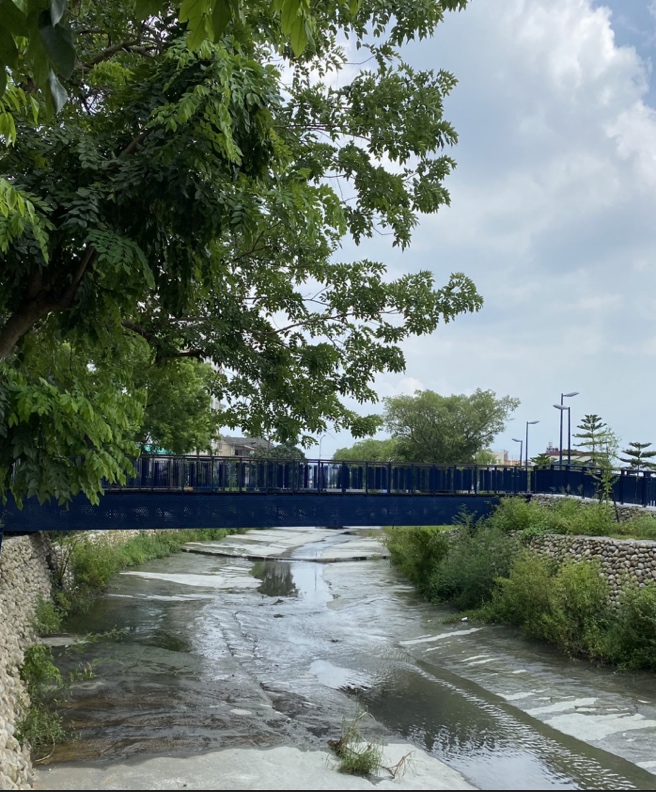
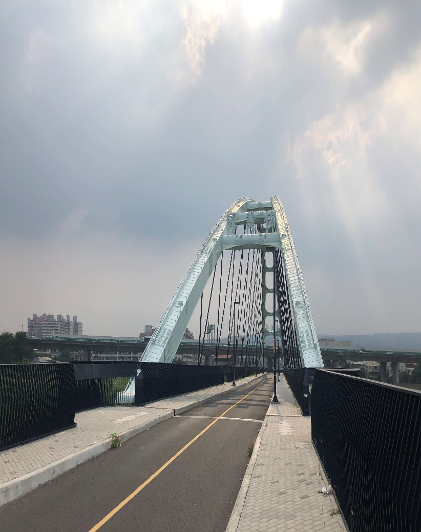
The scope consists of the nodes along Maoluo(貓羅) River (921 Earthquake Museum, Zushi(祖師) Bridge, Taichung(台中) International Expo Center, prefecture baseball field, International Sand Sculpture Art and Culture Park, etc.), as well as the idle space under the No. 3 National Road bridge.
- Urban Green Corridor and Blue Belt Overall Plan for Nantou City(南投市), Nangang(南崗), and Zhongxing(中興) Urban Project.
- Overcome the shortcomings of the lack of finance to acquire old urban public land in Nantou and the shortage of new green belts and parks.
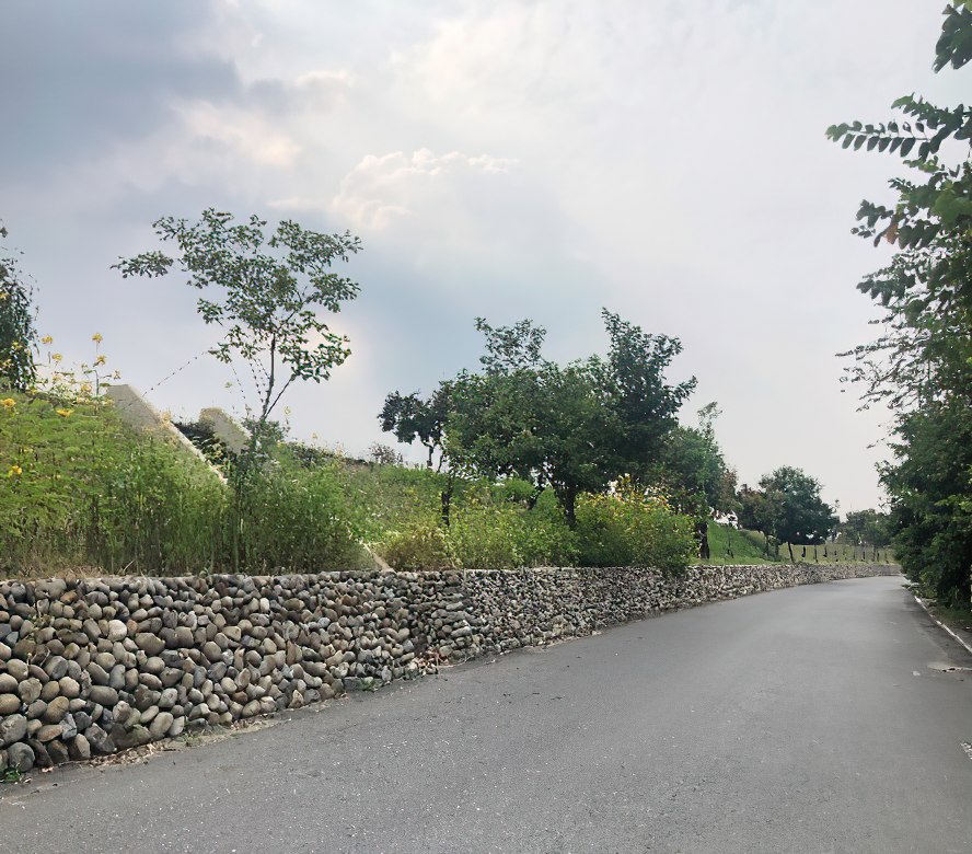
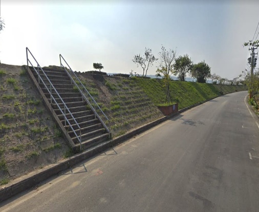
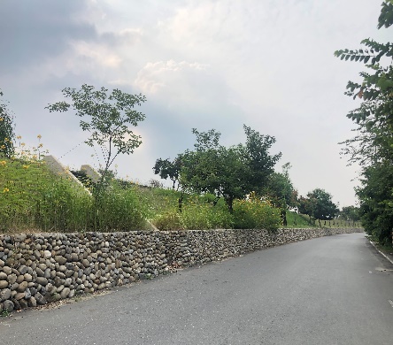
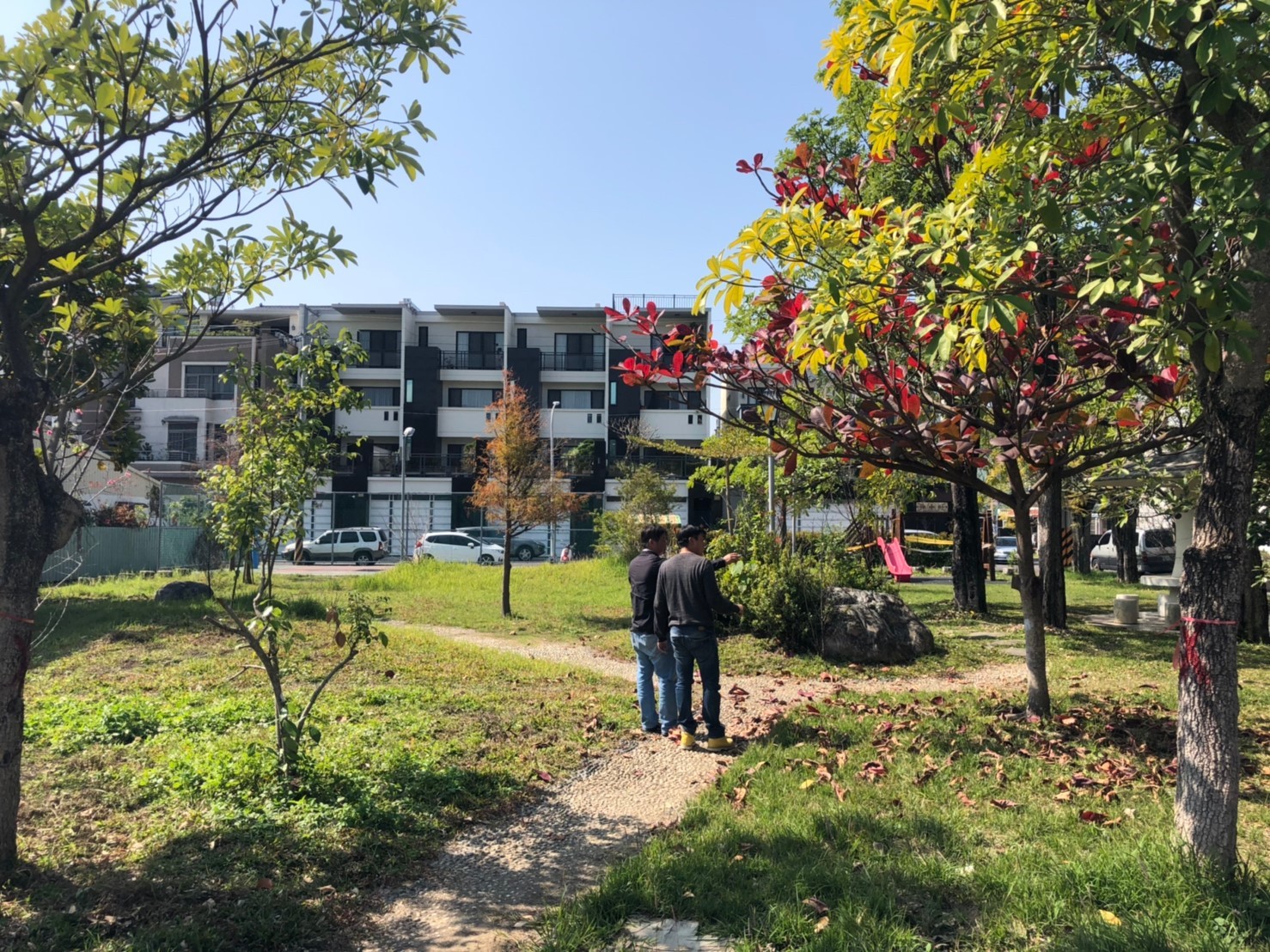
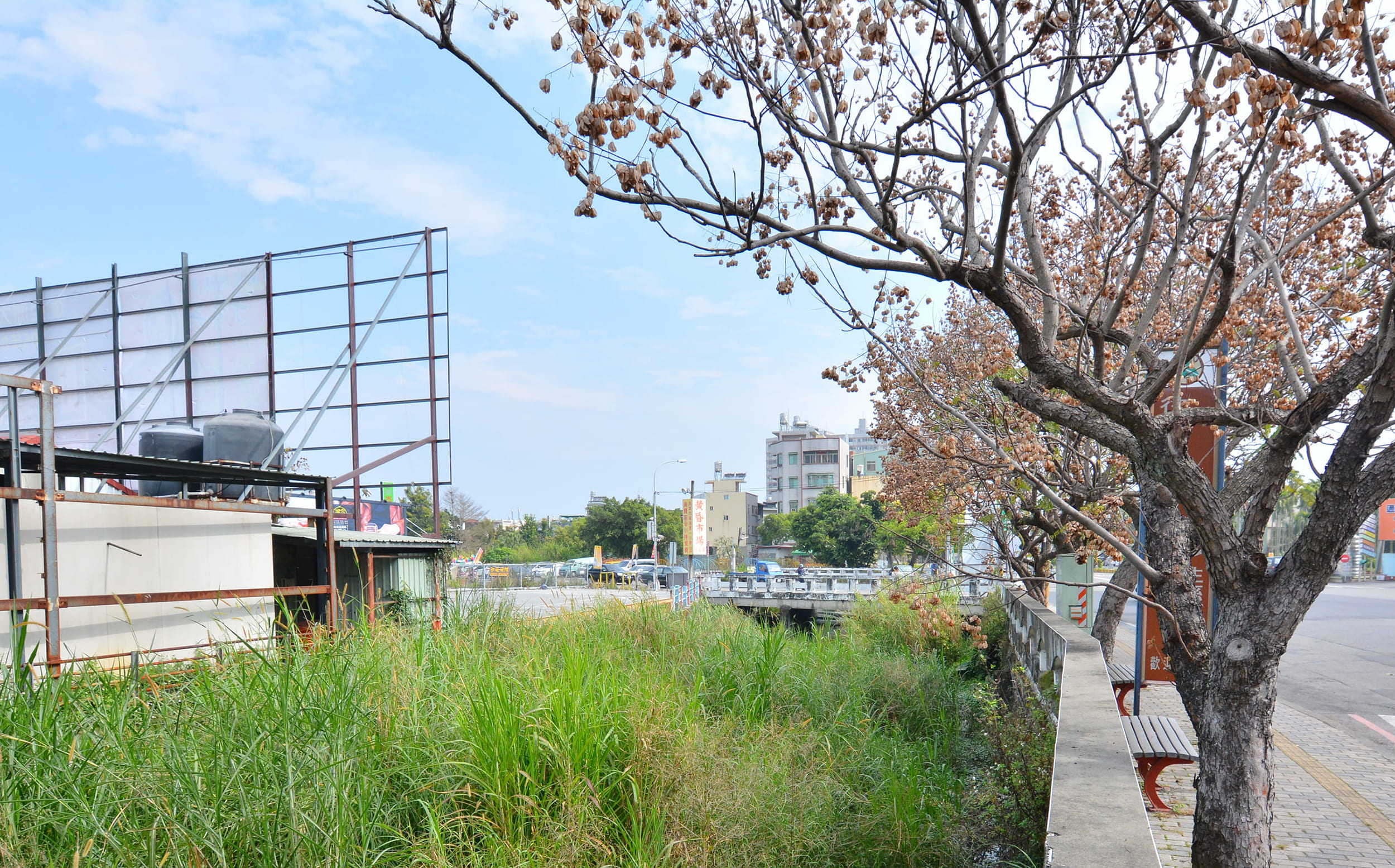
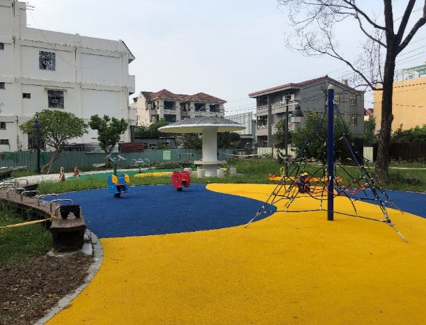
- Connect pedestrian and bicycle paths through existing drainage in the area and the surrounding green belt.
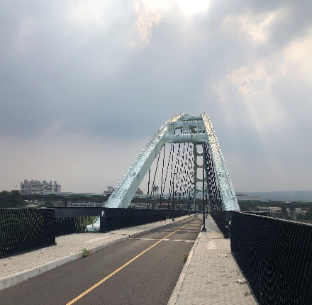
- To meet the high demand for a connection between the two sides of the Maoluo(貓羅) River, the footpath bridge, Maoluo(貓羅) River dike, flood control road, and surrounding green belt on both sides of the Maoluo(貓羅) River will be planned and connected in an overall way.
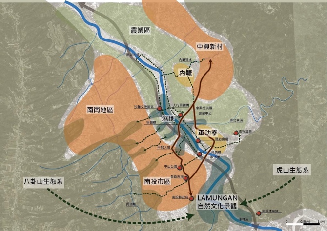
- The south core area of Zhongxing(中興) New Village needs to meet its living functions through Nantou urban area, so the quality of life can be improved by enhancing the overall planning of both sides of the Maoluo(貓羅) River.
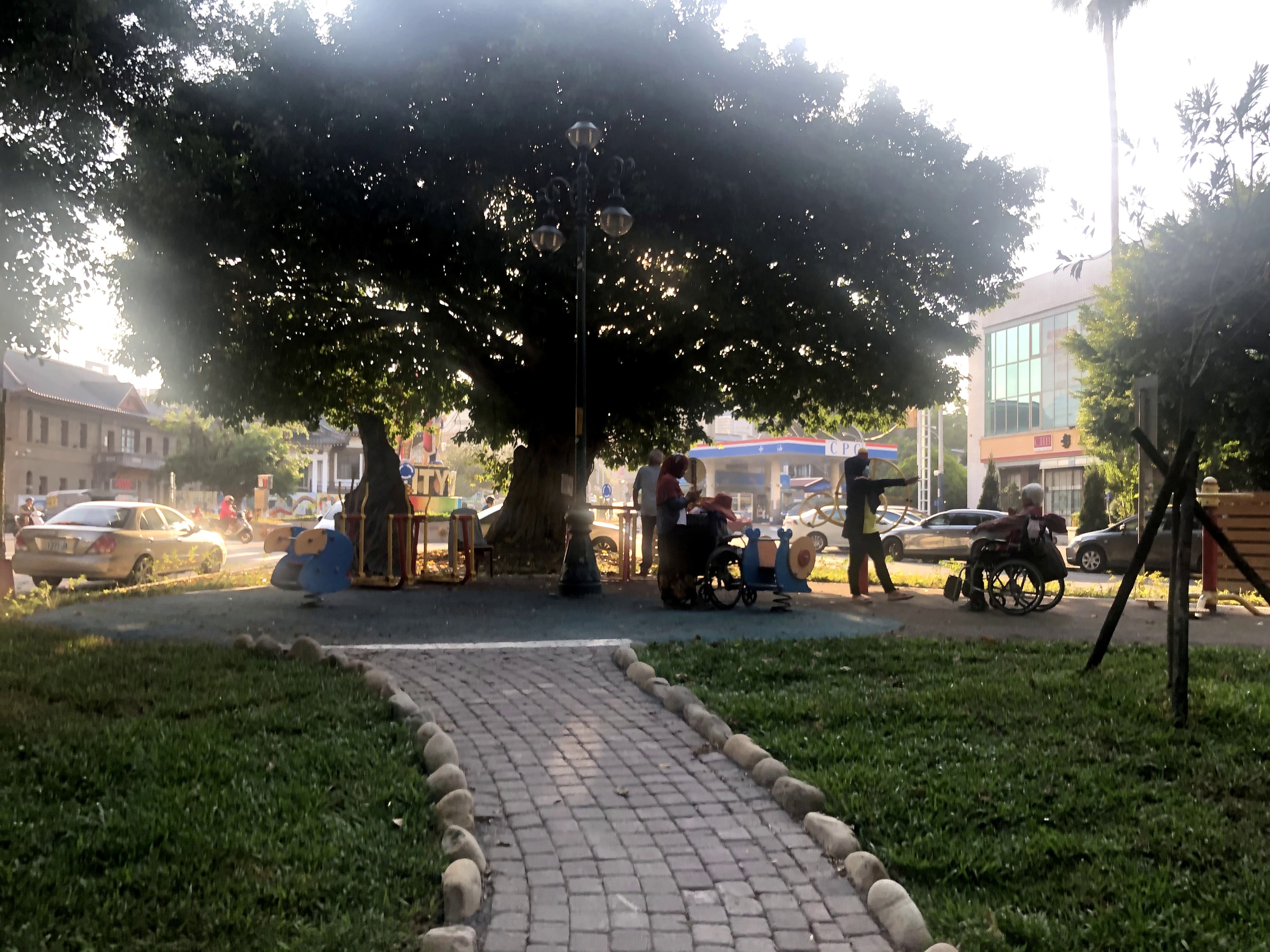
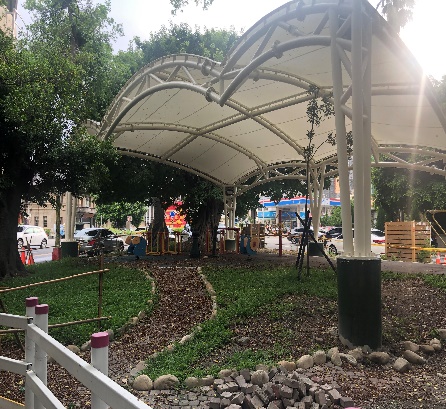
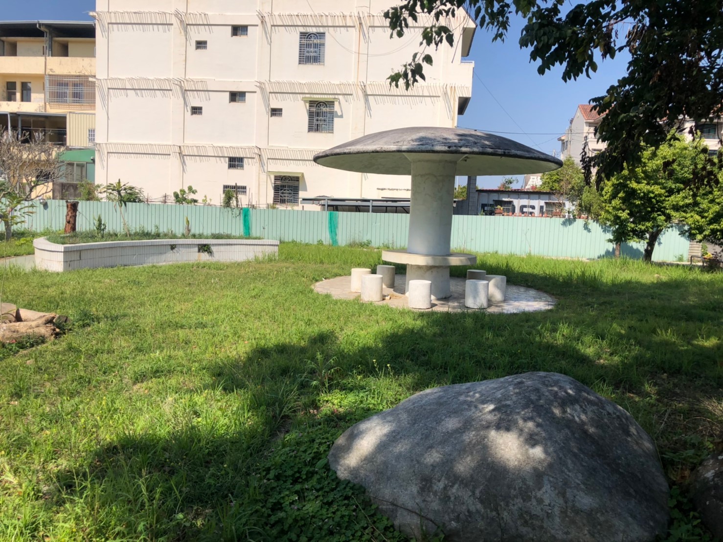
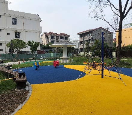
- Population aging in the Nantou area is a serious issue, ranking among the top three in the province, and the need to improve relevant urban public facilities and green belt space is urgent.
- Through the Heart of Town Project, itis hoped to create a new and beautiful Nantou town by connecting Nantou City(南投市), Nangang(南崗) Industrial Zone, and Zhongxing(中興) New Village areas.